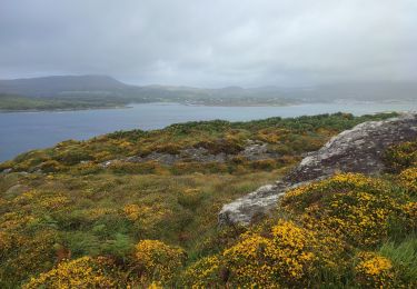
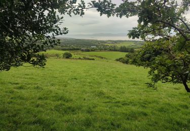
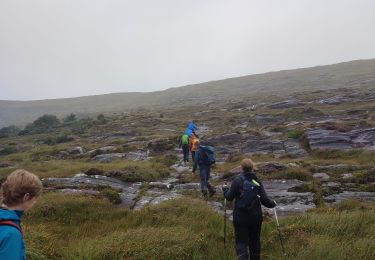
12.6 km | 21 km-effort
Gleninchaquin Falls
Bernard Lejeune
User
Length
3.1 km
Max alt
287 m
Uphill gradient
214 m
Km-Effort
5.9 km
Min alt
76 m
Downhill gradient
206 m
Boucle
Yes
Creation date :
2022-06-14 17:23:56.0
Updated on :
2022-06-14 17:23:57.588
1h20
Difficulty : Easy
FREE GPS app for hiking
About
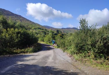
Trail Walking of 3.1 km to be discovered at Unknown, County Kerry, Kenmare Municipal District. This trail is proposed by Bernard Lejeune.
Positioning
Country:
Ireland
Region :
Unknown
Department/Province :
County Kerry
Municipality :
Kenmare Municipal District
Location:
Dawros
Start:(Dec)
Start:(UTM)
454476 ; 5739265 (29U) N.
Comments
Trails nearby
Bere Island
Walking
Medium
West Cork,
Unknown,
County Cork,
Ireland
14.5 km | 19.7 km-effort
3h 10min
Yes
Hungry Hill
Walking
Difficult
West Cork,
Unknown,
County Cork,
Ireland
12.3 km | 21 km-effort
3h 51min
No
Ardgroom - Eyeries
Walking
Medium
West Cork,
Unknown,
County Cork,
Ireland
15.6 km | 18.6 km-effort
3h 48min
No
190704Fergus
Car
Very easy
Kenmare Municipal District,
Unknown,
County Kerry,
Ireland
279 km | 317 km-effort
19h 22min
No
Gowlane - Killarney (Abbey Cross)
Walking
Very difficult
Kenmare Municipal District,
Unknown,
County Kerry,
Ireland
17.8 km | 24 km-effort
5h 31min
No
Adrigole to Glengarriff
Walking
Medium
West Cork,
Unknown,
County Cork,
Ireland
17.2 km | 27 km-effort
Unknown
No
Castletownbere to Adrigole
Walking
Medium
West Cork,
Unknown,
County Cork,
Ireland
22 km | 32 km-effort
Unknown
No
All Rerrin Loop
Walking
Easy
West Cork,
Unknown,
County Cork,
Ireland
6.4 km | 7.8 km-effort
Unknown
Yes